Mining & Ground Stability
Getting on a Firm Footing
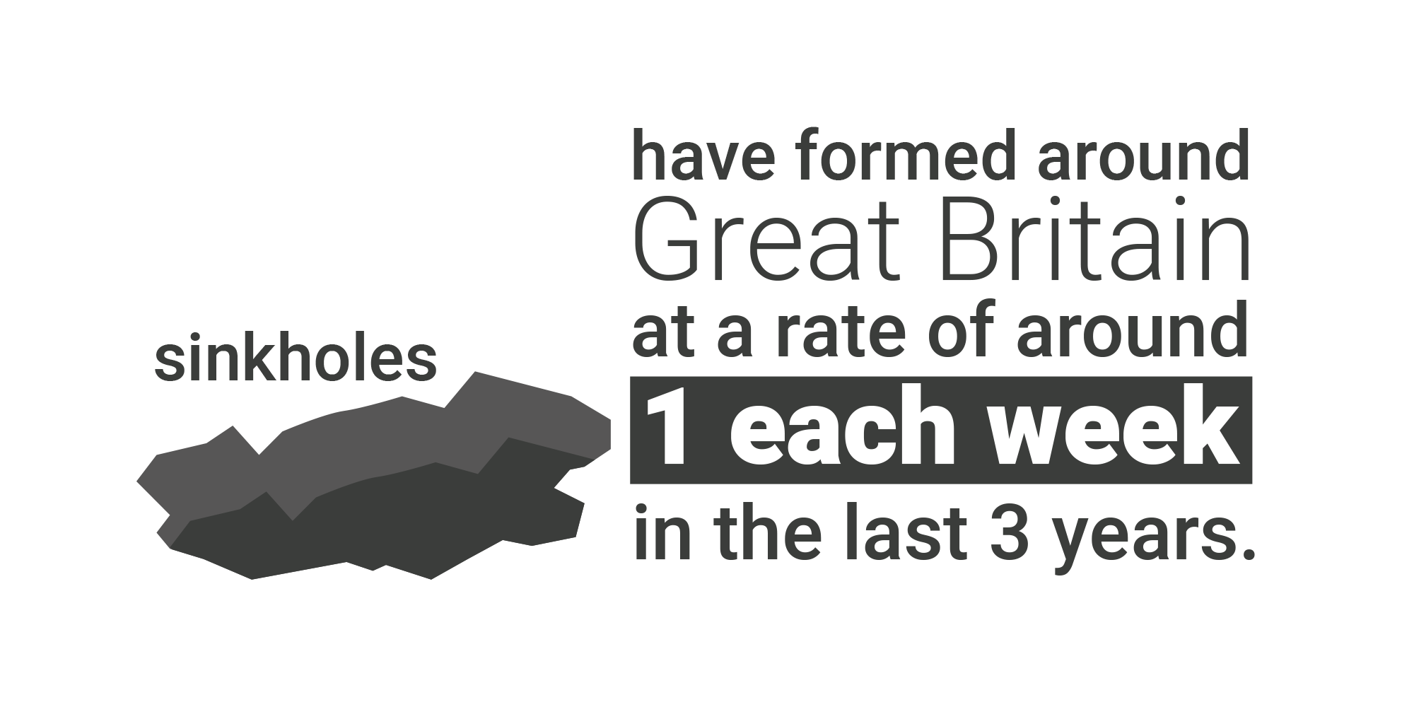
It isn’t just the finance and title deeds that need to have secure foundations in a property transaction. The legacy of our extensive mining industry combined with natural hazards means that understanding the ground below the property and its immediate vicinity is vital. Time and climate change are revealing previously unknown shallow mining or areas of softer bedrock, which could open up gardens lawns or leave the foundations exposed.
Conveyancers need to highlight potential subsidence risks to their clients so that they can avoid the trap of limited or no insurance or very high excesses and disruption should the worst happen.
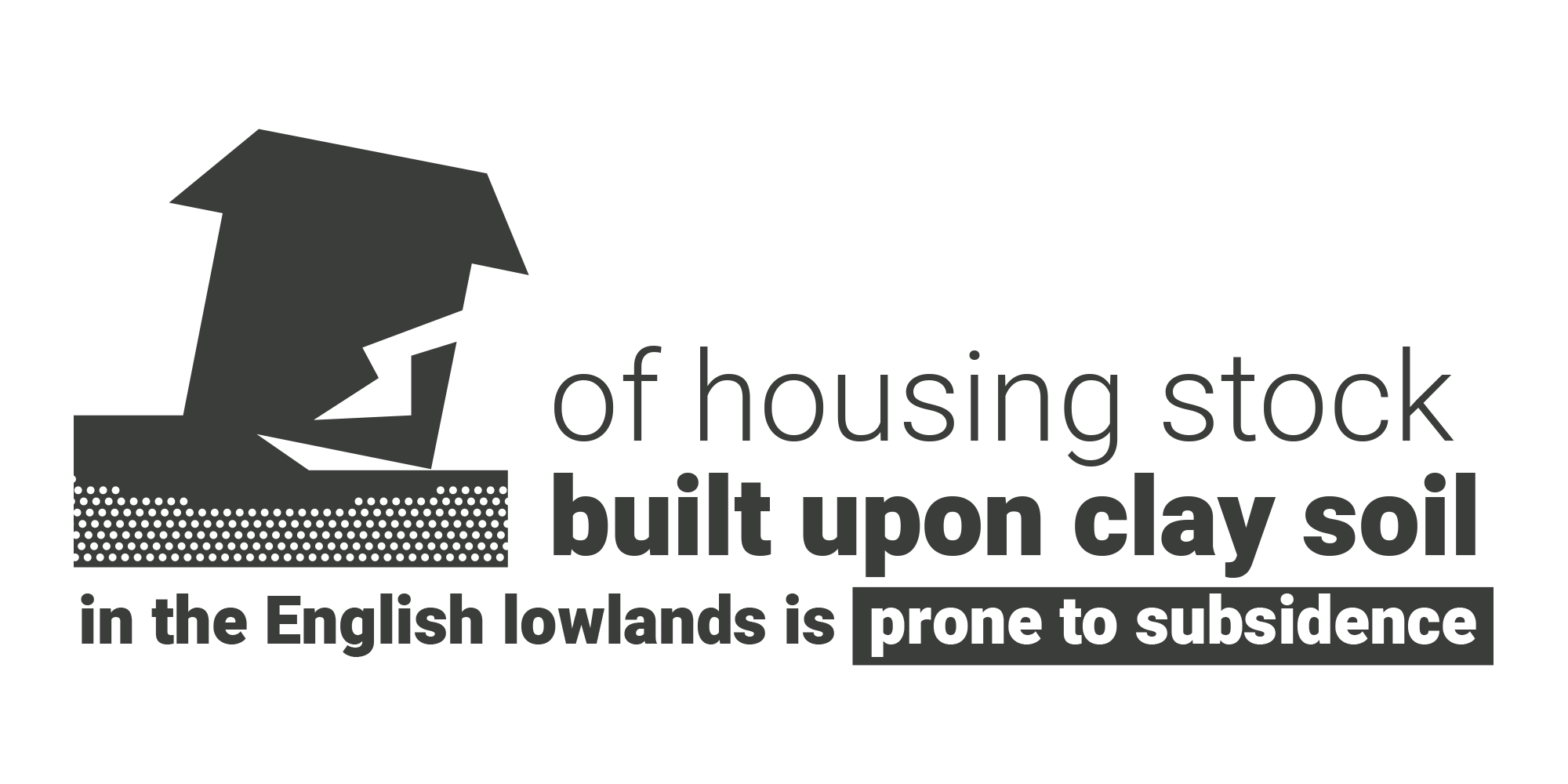
The British Geological Survey’s (BGS) Property Subsidence Assessment (PSA), included in all reports containing the Ground Stability module, offers an advanced assessment of shrink-swell subsidence risk, specific to the individual property.
This advanced assessment of shrink-swell subsidence risk considers features such as soil type, proximity of trees, the age of the property and the depth of its foundations to provide an individual rating for each property. This is expertly analysed and intuitively presented by FCI to ensure a clear interpretation of the risks, together with practical expert actionable advice where a risk does exist, for the benefit of the conveyancer or solicitor and their client to enable them to proceed with the transaction.

Solutions
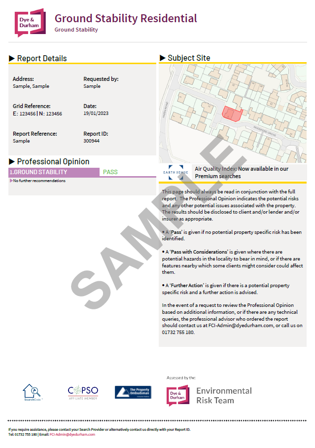
FCI Residential Ground Stability
Analyses the key subsidence risks, including coal and other mining activity, natural geohazards and cavities, made ground and in-filled land.
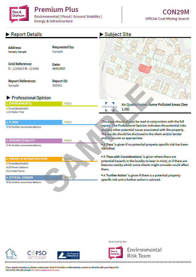
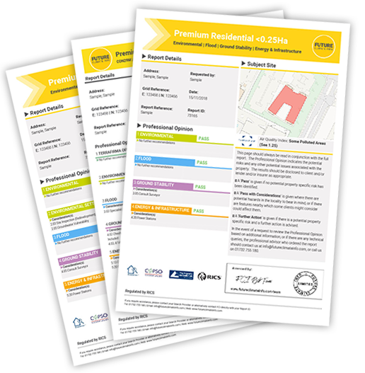
Premium Plus CON29M
An extension of our best-selling FCI Premium Residential report, combining the CON29M module with an assessment of the core Environmental risks in one clear and concise report.
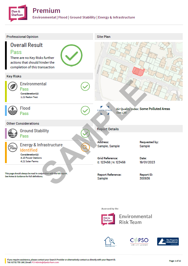
FCI Premium Residential
The Best Value Environmental Risk Report covering environmental, flood, energy and infrastructure and ground stability risks.
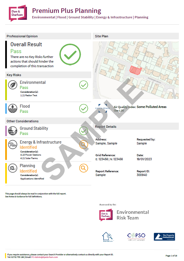
FCI Premium Plus Planning
Including FCICapture and dynamic search technology, FCI Premium Plus Planning enables conveyancers and homebuyers to gain a swift appreciation of the environmental risks and planning landscape in relation to a property.
CON29M
Looking for our CON29M Official Coal Mining Searches?
Complete with unique, inclusive triple-tier insurance protection*, FCI offers the CON29M Official Coal Mining Search range that puts your client’s needs first. Providing peace of mind for conveyancers and solicitors with a combination of expert risk interpretation and unparalleled insurance protection for homebuyers, vendors and lenders as standard.
*Insurance subject to specific Terms and Conditions.
Latest News
Case Study
Newcastle: New Build Property demolished after Coal Mine Discovery
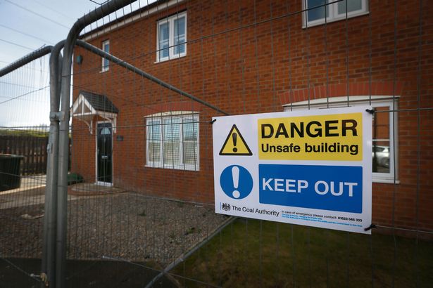
The Bayfield estate in West Allotment, North Tyneside was built by Belllway Homes in 2011 as part of a larger development of several hundred houses on the east side of Newcastle near Shiremoor.
Subsidence and cracking of several homes was first noticed in 2015. Families were originally evacuated in June 2016 and then permanently relocated in January 2017 after severe mining subsidence damage initially threatened five properties, which were initially cordoned off and investigations began to find out the cause of the ground movement.
The Coal Authority set up a base on the estate and carried out detailed examinations over 14 months. Their investigation revealed unrecorded coal mine workings, which date back around 120 years. These showed the site had been extensively worked – usually, in this area, 45% to 50% of coal is mined, but in this case the amount of coal mined was over 70%.
This over extraction resulted in narrow residual supporting coal pillars and wide extraction rooms in the high main coal seam, leading to compression on the remaining coal pillars and roof instability. Together with a weak sandstone layer and fracturing within the rock above the coal seam, this resulted in an underground collapse and subsequent movement of the properties above.
Other potential causes for the ground movement, such as how the properties were designed and constructed, groundwater and the proximity of other quarries, were ruled out so that it was finally identified as an unrecorded mine entry.
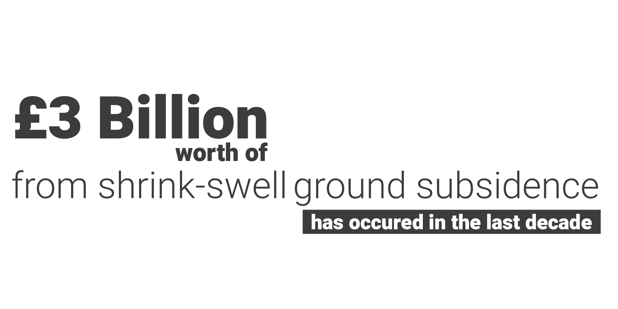
In January 2017, five houses on the estate were demolished, with a further 10 scheduled for demolition, costing £95,000, with a total housing development loss of value of around £3 million.
After demolition, stabilisation work could then begin which would allow the area to be redeveloped. Grout was injected into the mine workings to fill the underground cavities and prevent further ground movement. This was followed by six months of further ground monitoring to ensure the ground was stable for redevelopment.
Under the Coal Mining Subsidence Act 1991, The Coal Authority has liability for historic coal mining subsidence claims. These shallow mine workings were not documented by The Coal Authority and the risks were not evident during preliminary due diligence when the land was originally purchased or later when the houses were constructed.
The Authority said, however, that for properties damaged by subsidence, it was only able to consider purchase of homes in cases where the cost of the damage outweighs the cost of repair.
In 2018, the Coal Authority’s Annual Report stated that the damage claim paid out to the homeowners on the Bayfield Estate was “the largest single event we have ever dealt with in our 24 year history.”
Families were distressed throughout, whether through forced evacuation or the uncertainty as to how widespread the subsidence extended and the disruption caused by the demolition and stabilisation of the land.
All of these factors had impacts to local house prices and their enjoyment of their homes. They fear blight and the difficulty of selling their homes even in areas of the estate currently unaffected by subsidence is understandable.
Try before you buy
To take advantage of a trial free order of your first environmental report, please complete the enquiry form and we will get back to you as soon as possible. We will need to take more details of the property or site and ask some more questions about your firm and the transaction.
